Radar helps to calculate avalanche risks
Researchers now understand better what happens inside a massive avalanche as it slides down a mountain.

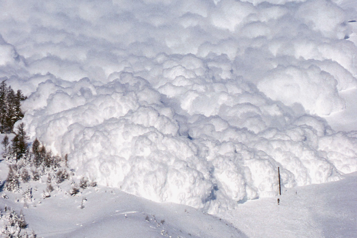
Arbaz in the canton of Valais: a new radar device can analyse artificial avalanches. | Image: Archiv SLF.
Slab avalanches, dry snow avalanches and wet snow avalanches can all be classified easily once they’ve come down the mountain. But up to now, researchers have been utterly puzzled by what actually happens during the phenomenon itself. They’d have to be able to look through the whirled-up snow particles with a radar. And this is exactly what Anselm Köhler and Betty Sovilla from the Institute for Snow and Avalanche Research SLF in Davos have been doing. They’ve been making measurements with a device they have themselves developed, and using their results to create a new classification system.
During the winters of 2009 to 2015, they observed 77 avalanches in the Vallée de la Sionne near Arbaz in the canton of Valais, some of them natural, others artificial. The radar device GEODAR (‘Geophysical flow dynamics using pulsed Doppler radar’) registers pieces of snow from two to ten centimetres in size. It recognises structures and can track any changes to them within an avalanche. Avalanches are also assessed using cameras and sensors that register flow velocity, snow density, temperature, pressure and tremors.
Using these measurements, the researchers have developed a new classification system with seven different ‘flow regimes’ – which is more detailed than hitherto schemes. For example, the researchers can show how different regimes sometimes overlap in large avalanches, and can also demonstrate what external factors have an impact – such as temperature and slope.
Sovilla hopes that their study and their publicly accessible data can help to develop better physical models of avalanches. This could mean being able to assess avalanche risks better in future. In the winter of 2017-18, avalanches in the Swiss Alps claimed the lives of 26 people. But better risk prediction could save lives.


