SATELLITENDATEN
The cause of forest decline in Madagascar
A ground-breaking study develops a new understanding of the relationship between fire, humans and vegetation using satellite data.

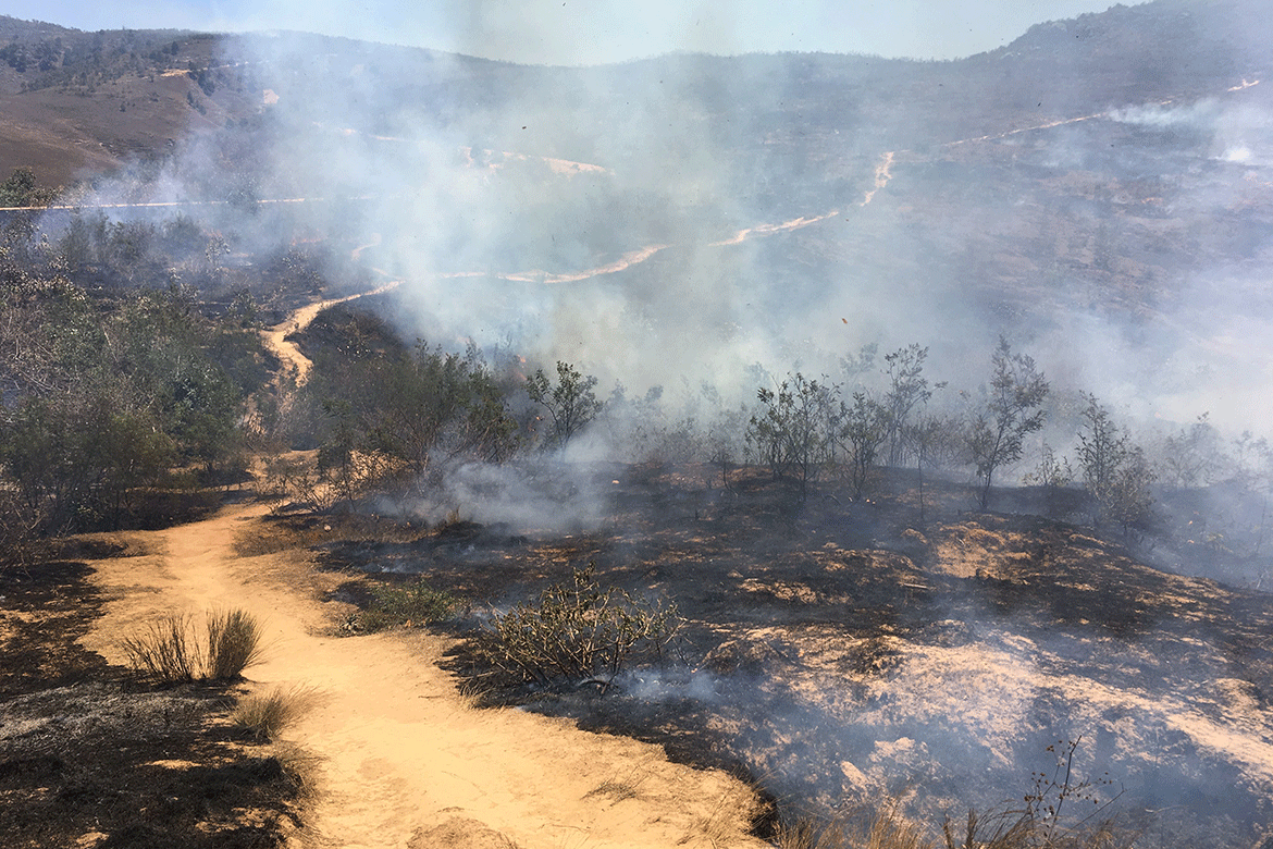
It’s not large-scale fires but active land-clearing that is destroying Madagascar’s forests. | Image: Christian Kull
Contrary to popular belief, it is not large fires in grassy biomes that are leading to forest decline in Madagascar, but probably human activity related to agriculture.
“Our study is the first of its kind to characterise the island’s fire patterns and compare them to the global tropics using satellite remote sensing data”, says the lead author Leanne N. Phelps from the University of Edinburgh. In particular, the study shows that the fire areas on the island are 88 percent similar to the tropical areas burned worldwide with a similar climate and vegetation. There is therefore nothing exceptional about them.
For Phelps, the most surprising result of the study is that “the greater forest loss compared to the global tropics is not explained by large-scale fires”. On the contrary, it occurs in areas without large-scale fires and is explained by complex degradation factors that may increase fire risk. For example, active land-clearing for agriculture.
Finally, the large-scale fires (over 21 hectares) caused by humans along the forest-savanna/grassland boundaries, suspected of contributing to the rapid deforestation of the island, appear to be blameless. Phelps’s study shows that these fires have decreased over the last 20 years whereas forest degradation has increased. And tree losses are concentrated in the interior.


